Impuestos incluidos.
Los gastos de envío se calculan en la pantalla de pago.
Cantidad
No se pudo cargar la disponibilidad de retiro
Estados Unidos, en relieve.
Un mapa topográfico de Estados Unidos que representa todo el país en tres dimensiones: las Montañas Rocosas alzándose en marrón oscuro a lo largo de la columna vertebral del Oeste, la cordillera de las Cascadas y Sierra Nevada junto al Pacífico, el paisaje de cañones de la meseta del Colorado y las Grandes Llanuras extendiéndose en verde hacia el Misisipi. En el Este, las largas crestas de los Apalaches recorren el país de Georgia a Maine. Alaska y Hawái aparecen en sus propios recuadros.
La elevación se muestra con un color intenso y graduado (llanuras verdes que pasan por el dorado hasta cumbres marrón oscuro) y solo se nombran las ciudades y cimas principales, del monte Whitney y el monte Elbert al Longs Peak y el Grand Teton, para que sea el propio paisaje el que hable. No es un mapa de carreteras: es la tierra tal y como realmente sube y baja.
Un regalo con significado para:
✦ Senderistas, escaladores y amantes de los parques nacionales: las Rocosas, Sierra Nevada, los Tetons y el Sendero de los Apalaches
✦ Amantes de los viajes por carretera: todo el relieve del país en un solo marco
✦ Casas nuevas, graduaciones y cumpleaños especiales
✦ Despachos, oficinas y aulas
✦ Amantes de los mapas, los paisajes y la naturaleza
Una de nuestras láminas de paisajes topográficos: otra forma de guardar un lugar, distinta a un plano de ciudad.
Características de la lámina en papel:
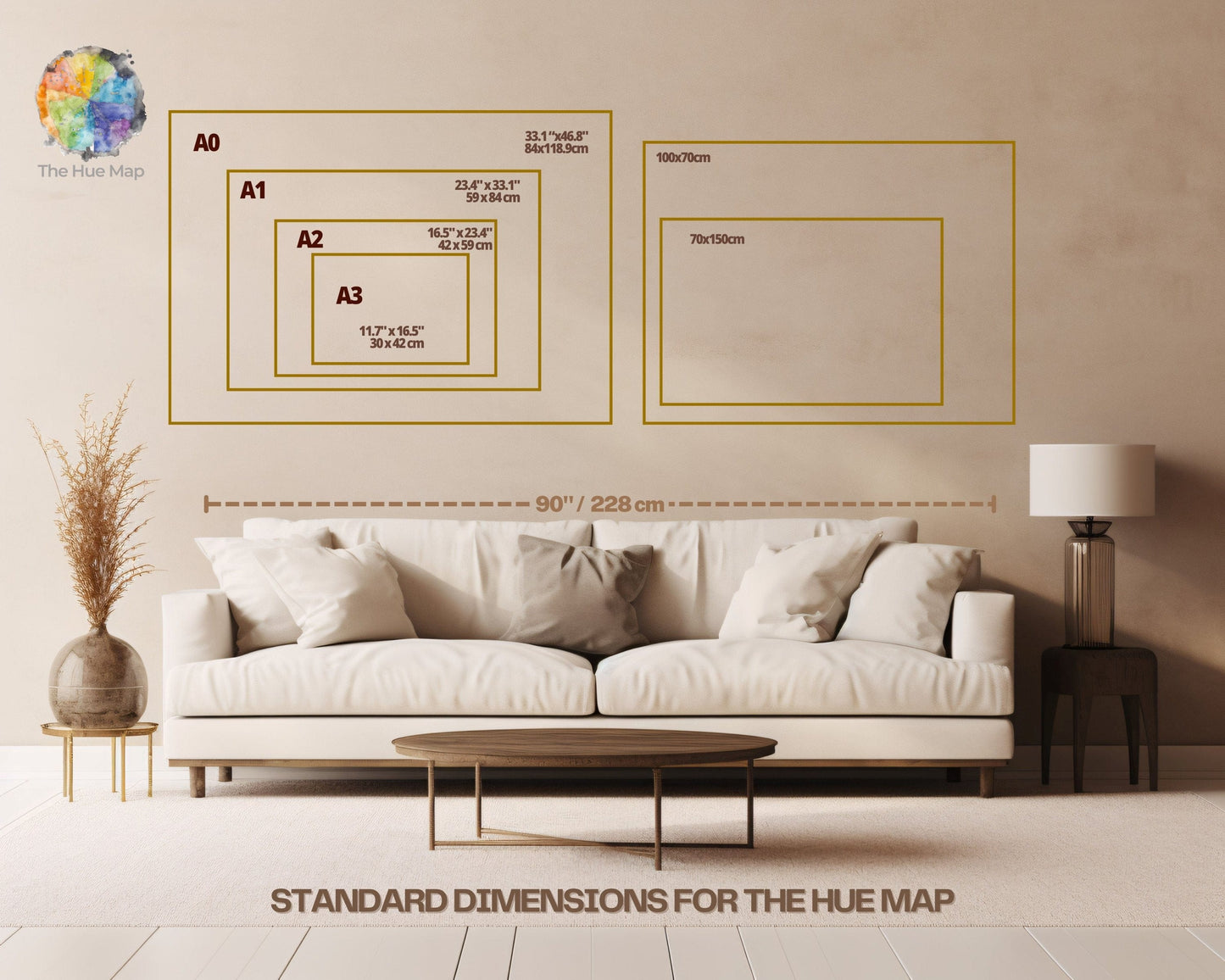
Disponible en varios tamaños para adaptarse a tu espacio.
Impresa en papel semibrillante de alta calidad de 200 g/m², suave al tacto, que realza los colores intensos y el detalle fino del relieve.
Las opciones con marco de metal negro llevan un marco de aluminio negro de aprox. 20 mm de grosor y 10 mm de ancho.
Las opciones con marco de madera vienen listas para colgar, con kit de colgado incluido, en pino de origen responsable en blanco, natural, marrón oscuro o negro, de 20–25 mm de grosor y 10–14 mm de ancho.